EVERYDAY TECHNOLOGY · OCTOBER 22, 2026 · 8 MIN READ
How Does GPS Find Your Location Without Mobile Internet?
Your phone can pinpoint your position even in airplane mode with cellular data switched off. Here's the physics hiding behind that blue dot.
Odd Minute · 8 min read
Imagine hiking somewhere with no signal. Your phone has no internet, no mobile tower nearby and no Wi-Fi. Yet its location screen can still show where you are. How?
The key: GPS is not the internet
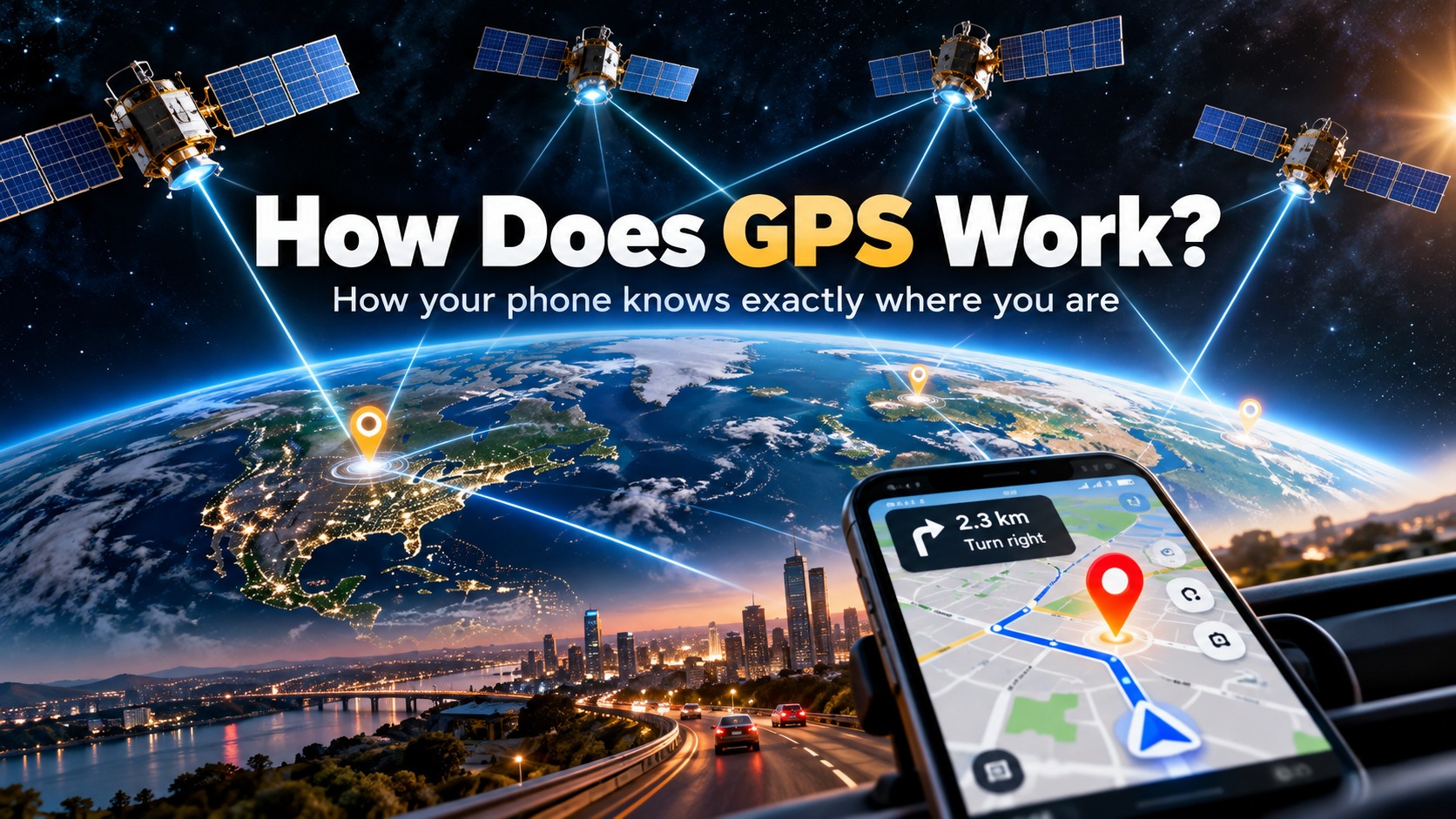
GPS—Global Positioning System—is a satellite-navigation service. Satellites orbiting Earth continuously transmit radio signals that contain timing and orbital information. A GPS receiver in your phone listens to those signals. It does not need to send a message back to the satellites, and receiving satellite broadcasts does not require a mobile-data plan.
Why does time tell your phone where it is?
Radio signals travel at approximately the speed of light. Your phone estimates how long each satellite signal took to arrive. Multiplying travel time by signal speed gives an approximate distance to that satellite. Since the satellite's position is also known from transmitted navigation data, the receiver can narrow down where on or near Earth it might be.
Why four satellites, not one?
One satellite tells the receiver it is somewhere on a broad sphere of possible positions. More satellites narrow the possibilities. In the usual GPS solution, at least four satellites are used to solve for three position coordinates and the phone receiver's clock error. This process is often called trilateration: locating a position using measured distances, rather than measuring directions to satellites.
So what does mobile internet actually do?
Mobile data can help a phone obtain satellite-assistance information faster and load an online map. Assisted GPS (A-GPS) may speed up the initial location fix by supplying timing or satellite-related information over a network. But once the receiver has sufficient satellite signals and navigation data, standalone GPS positioning can work without cellular internet.
Why does the blue dot sometimes appear on a blank screen?
There are two separate jobs: (1) measuring location coordinates and (2) displaying roads, buildings and place names. GPS handles the first. Maps often need internet access to download the second. If you have not downloaded offline map areas beforehand, your coordinates may still work while the map background remains blank.
Will GPS work inside buildings?
GPS signals reach Earth from distant satellites and are very weak by the time they reach your phone. Roofs, concrete, underground parking, tunnels and dense urban streets can block or reflect them. Devices may combine GPS with Wi-Fi, cell towers and motion sensors to estimate location when satellite reception is poor. These alternatives can be less reliable when their supporting data is unavailable.
What about airplane mode?
Airplane mode generally turns off cellular radios, but GNSS reception can still work on many modern phones. Behavior varies by phone, operating system and app. Location Services may need to remain enabled, and a fresh GPS fix can take longer without network assistance. You should not rely on an untested phone as your only navigation system in an emergency.
GPS, Galileo, GLONASS and BeiDou
Many phones use several global navigation satellite systems (GNSS), not just the American GPS constellation. Combining signals from supported constellations can improve availability, especially when buildings or terrain obstruct some satellites. This is why the satellite-position feature on your phone is usually more accurately called GNSS location.
Why your location sometimes drifts
Position errors arise from signal blockage, reflections, the atmosphere, satellite geometry, receiver noise and more. A phone might show a blue circle rather than a perfectly fixed point. An open outdoor view of the sky often helps. Precise centimeter-level navigation requires specialized hardware and corrections, not simply a better mobile-data plan.
Try this safely
Download an offline map of a familiar area, stand outdoors, disable mobile data and Wi-Fi, then open a navigation app that supports offline positioning. Wait for a satellite fix. Compare the location indicator with the map. Do not conduct this experiment while driving or in a place where navigation failure creates a risk.
The Odd Minute takeaway: GPS doesn't need the internet to know where you are. It needs clear satellite signals and accurate timing. Internet access mainly helps your phone get a faster fix and download the map you see behind the blue dot.